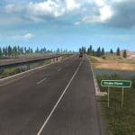
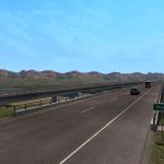
Project North v0.3.1 – Idaho & Wyoming Map ATS
Changelog v0.3.1
Fixed Invisible Barriers in Pocatello Area
moved reflectors sticking up out of the ground along I 84 (Mtn Home – Twin Falls)
Fixed render distances across the state
Fixed holes on US 93 (You should now be able to see mountains etc)
Fixed terrain gaps in hundreds of places.
Changelog 0.3
Idaho Contents:
– City: Twin Falls
– City: Pocatello
– City: Idaho Falls
– Back roads in between Twin Falls and Pocatello
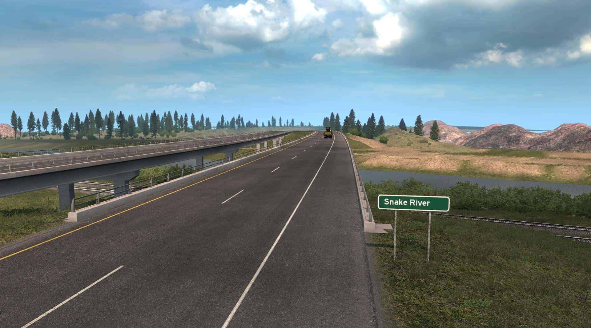
– Iconic landmarks, such as Snake River, Island Park, West Yellowstone & more
– Unique Interchanges, such as a DDI and stack interchanges.
– I 84 Extention (Mtn Home – I 86)
– Road: I 86 (I 84 – I 15 [Pocatello])
– Road: I 15 (Pocatello – Idaho Falls)
– Road: US 20 (ID Falls – W. Yellowstone)
– Road: ID 33 (US 20 – WYO 22)
Montana Contents:
– Town: West Yellowstone
– Road: US 20
– Scenic Mountain Passages
Wyoming Contents:
– Town: Jackson
– Road: WYO 22 (Jackson – ID 33)
– Town: West Yellowstone
– Yellowstone Nat Park View Points
– Scenic Mountain Passages
1.35 is not compatible with this map (0.3). Please use public beta 1.36 until release of 1.36 then switch to that.

